")
")
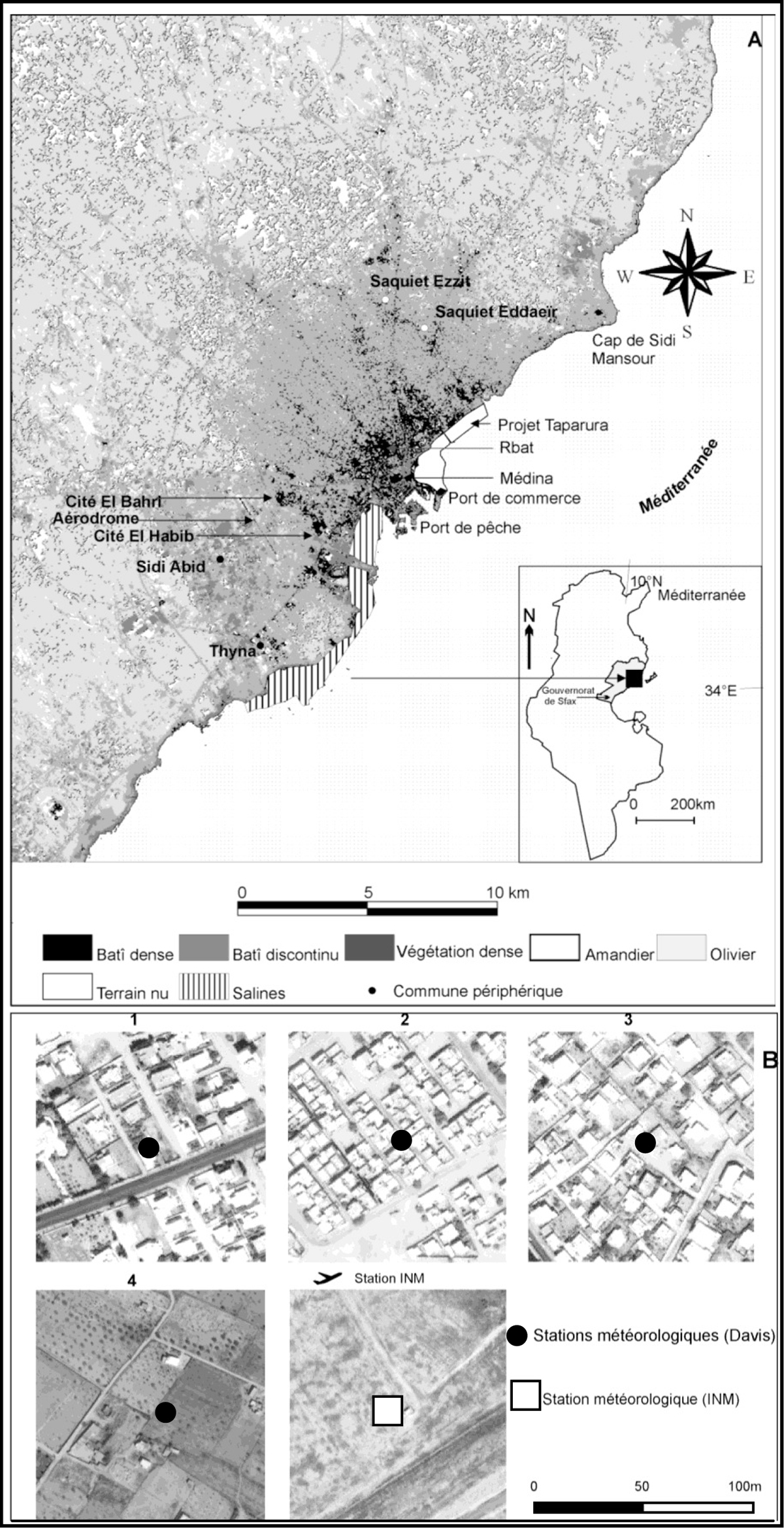
Figure 1
Download original image
Cartographie synthétique de l’occupation du sol dans l’agglomération de Sfax (A) et localisation du milieu environnant des stations météorologiques (B) ; source de A : image Landsat TM prise le 19 juillet 2010 ; source du fond de B : image Ikonos prise en mai 2004. Land cover map of Sfax town (A) and location of weather stations (B); source for A: Landsat TM - July 19, 2010; source for background B: Ikonos image - May 2004).
Current usage metrics show cumulative count of Article Views (full-text article views including HTML views, PDF and ePub downloads, according to the available data) and Abstracts Views on Vision4Press platform.
Data correspond to usage on the plateform after 2015. The current usage metrics is available 48-96 hours after online publication and is updated daily on week days.
Initial download of the metrics may take a while.