")
")
Figure 1
Download original image
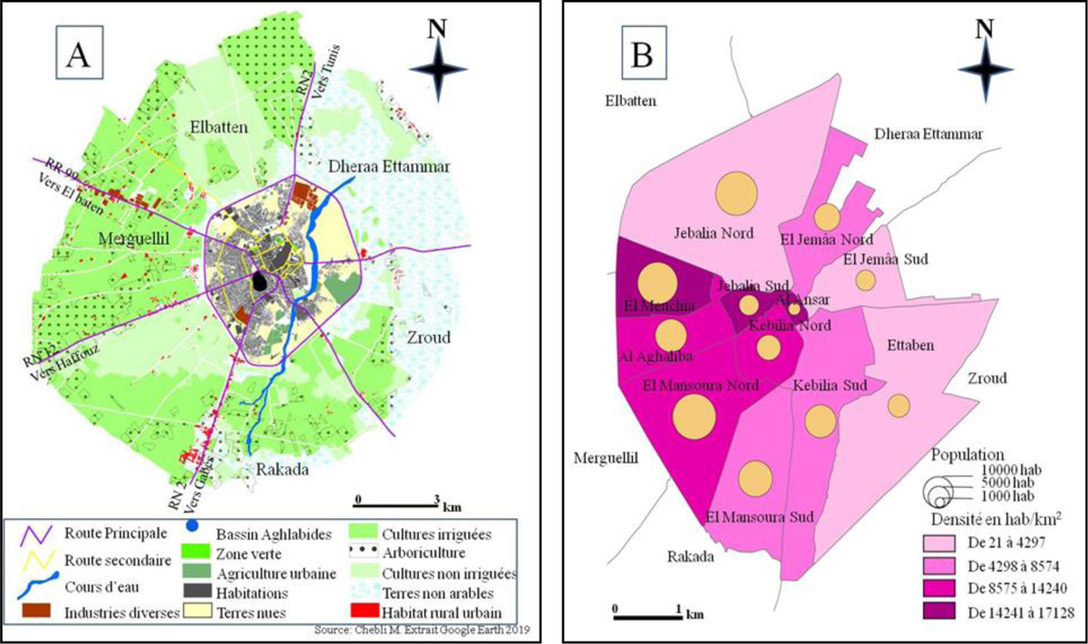
L’agglomération de Kairouan et ses alentours : occupation du sol (A) et population (B); source : Google Earth pour A et Institut National des statistiques pour B. The Kairouan agglomeration and its surroundings: soil occupancy (A) and population (B); data from Google Earth for A and National Institute of Statistics for B.
Current usage metrics show cumulative count of Article Views (full-text article views including HTML views, PDF and ePub downloads, according to the available data) and Abstracts Views on Vision4Press platform.
Data correspond to usage on the plateform after 2015. The current usage metrics is available 48-96 hours after online publication and is updated daily on week days.
Initial download of the metrics may take a while.