")
")
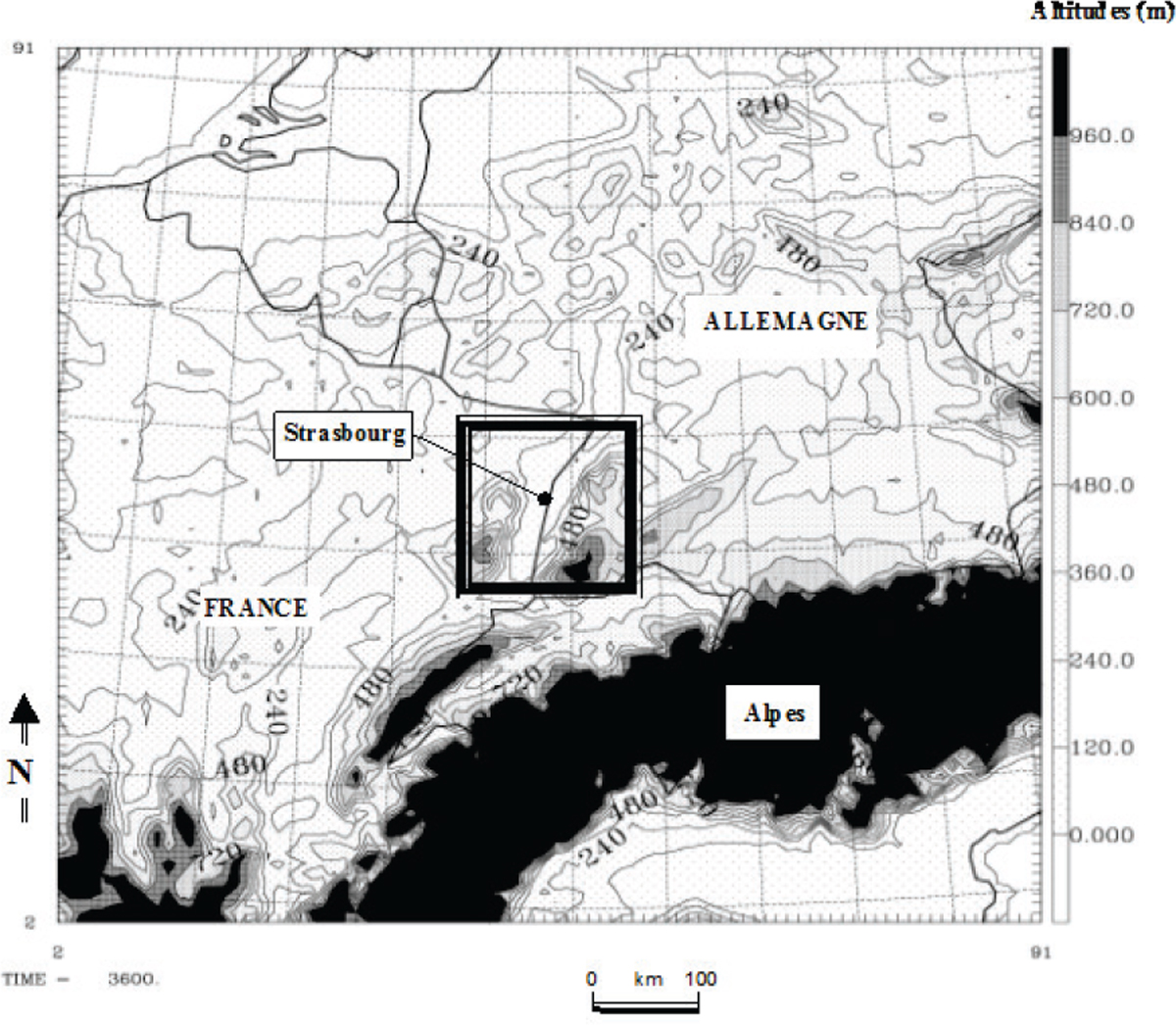
Figure 1
Download original image
Domaine de simulation du premier modèle. Il s’agit ici du relief. La résolution horizontale est de 10 km, la matrice est de 90 x 90 points, centrée sur Strasbourg (48,59°N; 7,75°E), soit un domaine de 900 x 900 km. Le domaine du second modèle est délimité par le carré noir. Simulation domain of the first model. Topographic map of 10 km resolution, 90*90 points, centred over Strasbourg (48.59°N; 7.75°E). The black square represents the simulation domain of the second model. Source : Kastendeuch et al., 2010.
Current usage metrics show cumulative count of Article Views (full-text article views including HTML views, PDF and ePub downloads, according to the available data) and Abstracts Views on Vision4Press platform.
Data correspond to usage on the plateform after 2015. The current usage metrics is available 48-96 hours after online publication and is updated daily on week days.
Initial download of the metrics may take a while.