")
")
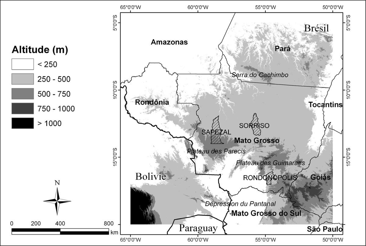
Figure 1
Download original image
Carte de localisation du Mato Grosso. Les trois communes choisies pour l’étude (Sapezal, Sorriso et Rondonopolis) sont représentatives des trois grandes régions agricoles de l’état. La carte du relief est issue des données SRTM (résolution spatiale de 90 m). Localization map of the State of Mato Grosso. The three municipalities cited in this study (Sapezal, Sorriso et Rondonopolis) represent the three agricultural regions of Mato Grosso.
Current usage metrics show cumulative count of Article Views (full-text article views including HTML views, PDF and ePub downloads, according to the available data) and Abstracts Views on Vision4Press platform.
Data correspond to usage on the plateform after 2015. The current usage metrics is available 48-96 hours after online publication and is updated daily on week days.
Initial download of the metrics may take a while.